sitelen:Champ de blé Côte-d'Or Bourgogne avril 2014.jpg
Jump to navigation
Jump to search


Size of this preview: 800 × 450 pixels. suli ante: 320 × 180 pixels | 640 × 360 pixels | 1,024 × 576 pixels | 1,280 × 720 pixels | 2,560 × 1,440 pixels | 4,288 × 2,412 pixels
ijo nanpa wan (4,288 × 2,412 pixels, file size: 7.88 MB, MIME type: image/jpeg)
ante li seme
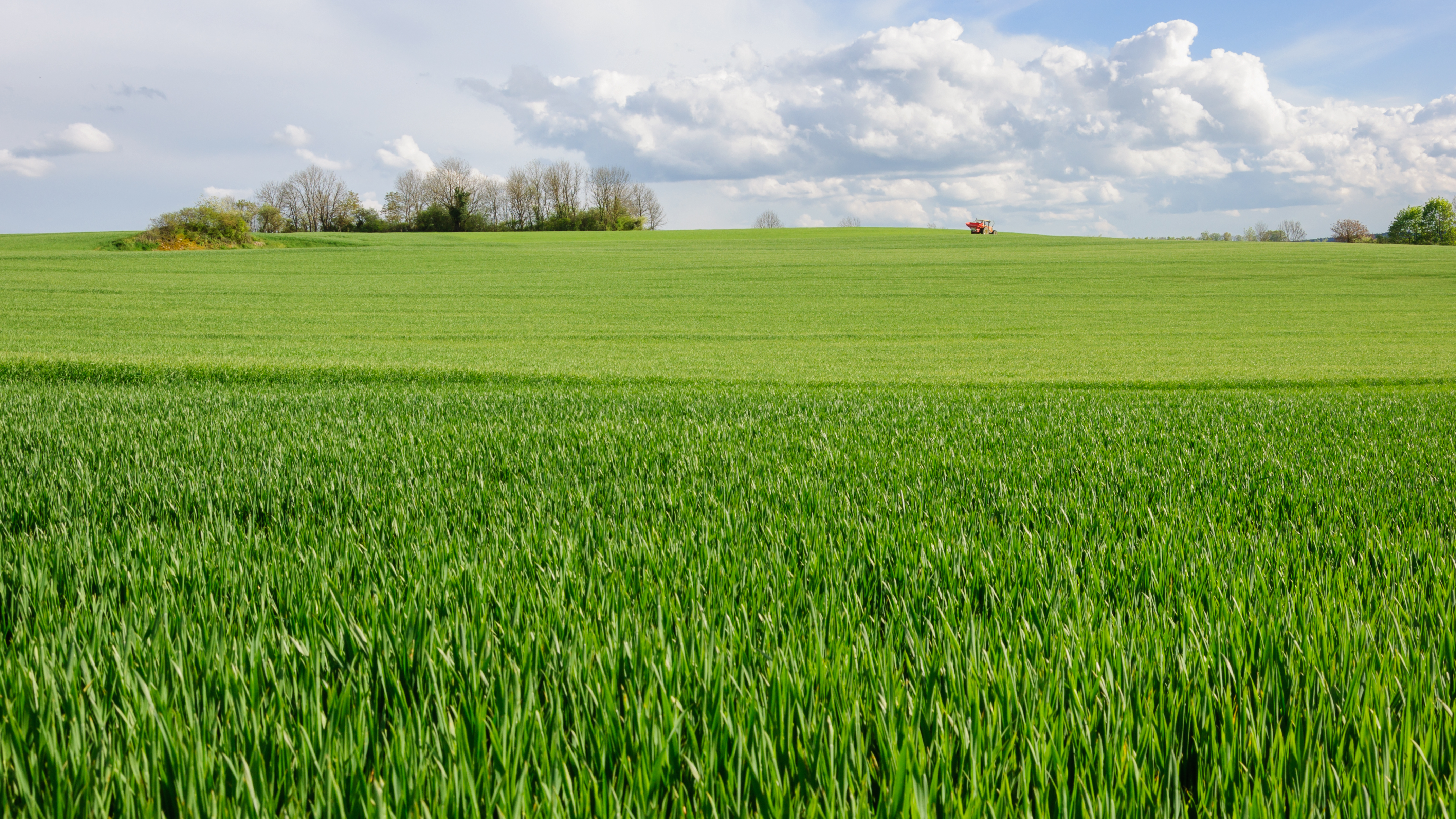
| Description |
Français : Champ de blé près d'Alise-Sainte-Reine, en Côte-d'Or (Bourgogne, France)
English: Wheat field near Alise-Sainte-Reine, Côte-d'Or department, Burgundy, France. |
| nanpa tenpo | |
| Source | Own work |
| jan sitelen | Myrabella |
| Attribution (required by the license) | Photo: Myrabella / Wikimedia Commons / |
| Object location | | View this and other nearby images on: OpenStreetMap |
|---|
|
|
Licensing
I, the copyright holder of this work, hereby publish it under the following license:
This file is licensed under the Creative Commons Attribution-Share Alike 4.0 International license.
- You are free:
- to share – to copy, distribute and transmit the work
- to remix – to adapt the work
- Under the following conditions:
- attribution – You must give appropriate credit, provide a link to the license, and indicate if changes were made. You may do so in any reasonable manner, but not in any way that suggests the licensor endorses you or your use.
- share alike – If you remix, transform, or build upon the material, you must distribute your contributions under the same or compatible license as the original.
tenpo pini pi ijo ni
Click on a date/time to view the file as it appeared at that time.
| tenpo | sitelen lili | suli | jan | o toki | |
|---|---|---|---|---|---|
| current | 2014-07-04T23:08:21 | | 4,288 × 2,412 (7.88 MB) | wikimediacommons>Myrabella | == {{int:filedesc}} == {{Information |description= {{fr|1=Champ de blé près d'Alise-Sainte-Reine, en Côte-d'Or (Bourgogne, France)}} {{en|1=Wheat field near Alise-Sainte-Reine, Côte-d'Or department, Burgundy, France.}} |date=2014-04-22 |source={{ow... |
kepeken pi lipu nanpa ni
The following page uses this file: