sitelen:Mapa sp.svg
Jump to navigation
Jump to search


Size of this PNG preview of this SVG file: 400 × 600 pixels. suli ante: 160 × 240 pixels | 320 × 480 pixels | 512 × 768 pixels | 682 × 1,024 pixels | 1,365 × 2,048 pixels | 1,200 × 1,800 pixels
ijo nanpa wan (SVG file, nominally 1,200 × 1,800 pixels, file size: 351 KB)
ante li seme
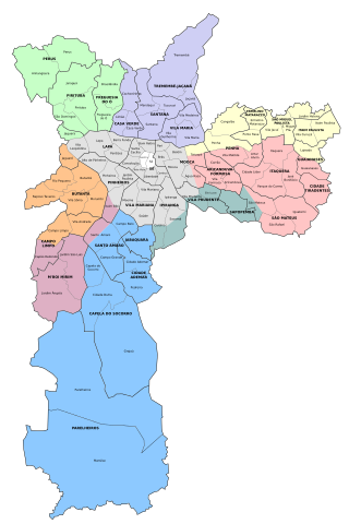
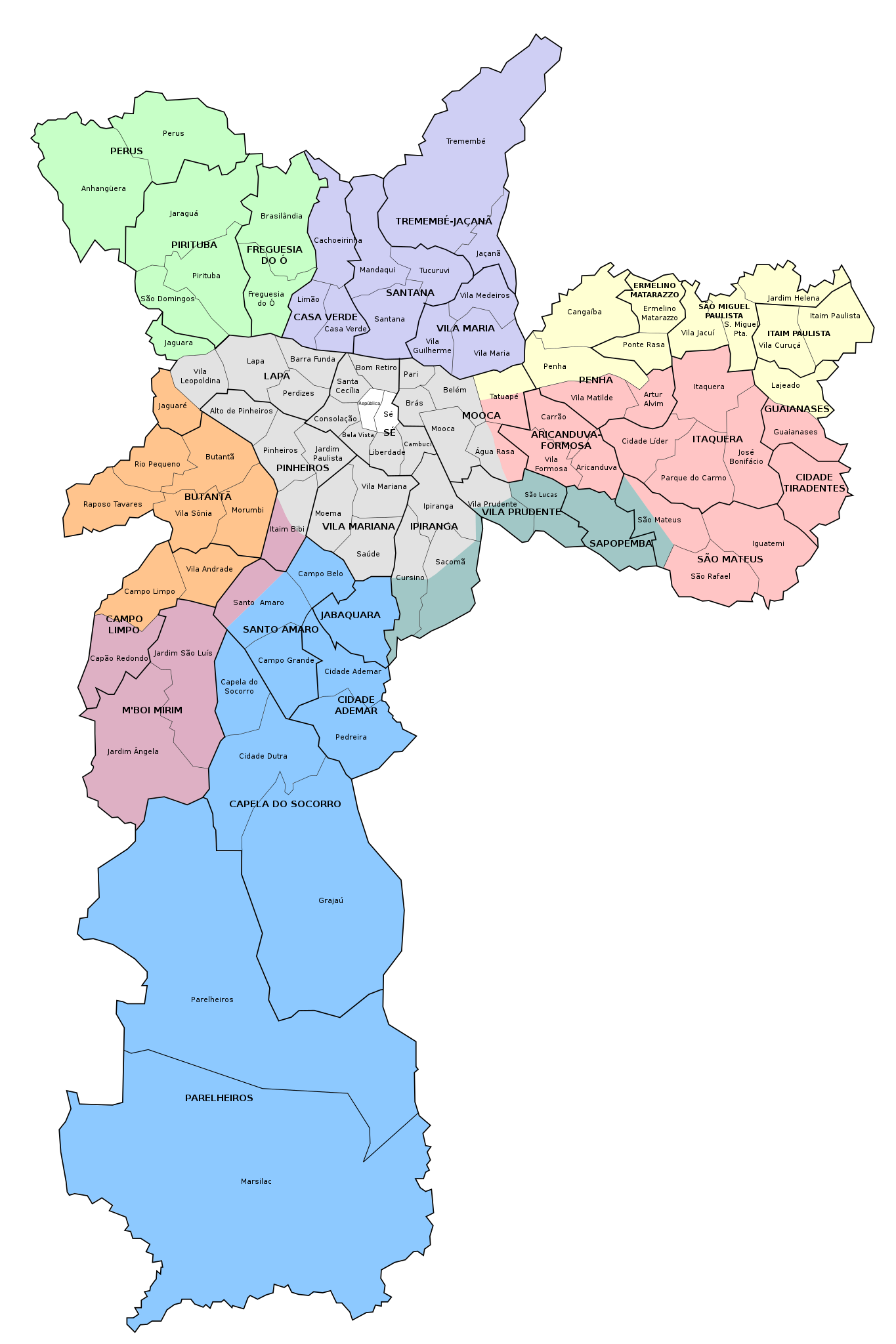
| Description | Map of the city of São Paulo, with the delimitations of districts, subprefectures and zones. |
| nanpa tenpo | 26 tenpo mun #11 2008 (original upload date) |
| Source | No machine-readable source provided. Own work assumed (based on copyright claims). |
| jan sitelen | No machine-readable author provided. Fsolda~commonswiki assumed (based on copyright claims). |
Licensing
I, the copyright holder of this work, hereby publish it under the following license:
This file is licensed under the Creative Commons Attribution 3.0 Unported license.
- You are free:
- to share – to copy, distribute and transmit the work
- to remix – to adapt the work
- Under the following conditions:
- attribution – You must give appropriate credit, provide a link to the license, and indicate if changes were made. You may do so in any reasonable manner, but not in any way that suggests the licensor endorses you or your use.
tenpo pini pi ijo ni
Click on a date/time to view the file as it appeared at that time.
| tenpo | sitelen lili | suli | jan | o toki | |
|---|---|---|---|---|---|
| current | 2017-01-26T01:49:09 | | 1,200 × 1,800 (351 KB) | wikimediacommons>Rariteh | Addition of the Regional Prefecture of Sapopemba, which was dismembered from Vila Prudente on January 2015; addition of boundary line between Lapa and São Domingos; minor adjustments |
kepeken pi lipu nanpa ni
The following page uses this file: